← ALL SYSTEMSFLYING
DATA LAYER/PLAT/STATUS: FLYING
Plat
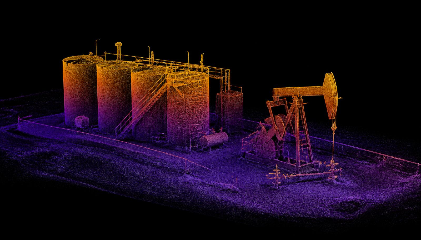
Plat ingests orthomosaics, thermal frames, point clouds and pod telemetry and files them against wells and pads rather than against flights. Change over time is the product; a single survey is just the first row.
1 RECORD
PER LEASE, OVER TIME
SPECIFICATION
- INPUTS
- Orthomosaic, LWIR / OGI, point cloud, pod telemetry
- INDEXING
- By well and pad, not by flight
- CHANGE DETECTION
- Pass-over-pass differencing
- EXPORT
- GeoTIFF, LAS, CSV, API
- ACCESS
- Operator-scoped; your data stays yours
- HOSTING
- US regions only
- STATUS
- In use on internal test flights
- ORIGIN
- Built in the United States
WHAT IT’S FOR
- 01Handing an EHS lead a dated record of a tank hatch instead of a folder of photographs.
- 02Showing a landowner what changed on their pasture between two passes.
- 03Ranking four hundred wells by what actually needs a truck this month.
WHAT IT ISN’T
Plat is not a GIS replacement and not a reserves model. It is the file cabinet for measurement.
RENDERS ARE ENGINEERING CONCEPTS. FIELD OUTPUT SHOWN AS SIMULATED IS LABELLED AS SUCH.
PREVIOUS SYSTEM
Sounder
Rigless wellbore inspection for wells that will never justify a wireline unit.
NEXT SYSTEM
Vaquero
Long-endurance lease survey. Optical and thermal, one takeoff.